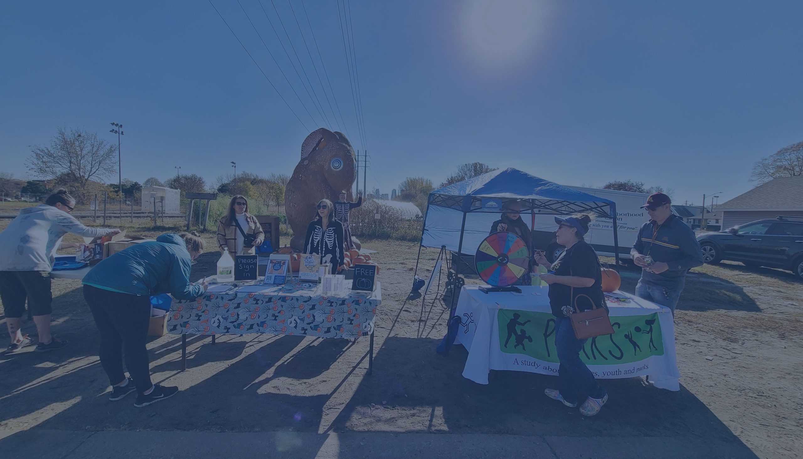
All paths lead to the river – it’s time to rediscover the Mississippi!
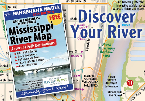 The Minneapolis Riverfront Partnership has coordinated with Minnehaha Media (a division of Hedberg Maps) to produce the Mississippi River Map-Above the Falls Destinations — a complete map and resource guide to the river and surrounding neighborhoods from the I-694 bridge in Brooklyn Center/Fridley down to the Stone Arch Bridge in Downtown Minneapolis.
Explore the rich cultural and industrial history of Minneapolis’ birthplace on the river and the neighborhoods that grew around it. Venture into the natural areas, parks and trails that straddle the river just north of downtown. Dine and relax at dozens of bars and restaurants in the neighborhoods of the North Loop, Northeast and North Minneapolis.
These maps are 12” x 18”, full-color (folded to pocket-sized), FREE and available at Minneapolis Riverfront Partnership events, their sponsors, select retail, restaurants and coffee shops, parks and recreation centers, schools, neighborhood and community centers throughout Downtown, North and Northeast Minneapolis and throughout the Twin Cities — over 80 locations.
To see the area of coverage, please visit: http://www.minnehahamedia.com/gw/missriver_mpls_upper/index.html.
Above The Falls Destination Map is sponsored by Minneapolis Riverfront Partnership.